History of Seymour
Seymour, a rural community in central northern Victoria is 100 km north-east of Melbourne. Seymour is located on the Goulburn River at the point where the river changes direction from west to north and meets the Murray River.
Seymour became a European settlement because of its convenient crossing of the Goulburn River. This proved to be an easier route than that recommended by Thomas Mitchell the Surveyor-General of New South Wales. This new crossing made travel easier and reduced the distance by 10 km in 1839. It also attracted vital services such as a punt, and a hotel, to cater to an increasing number of travellers.
Thomas Mitchell was successful in 1842 when he successfully convinced the Executive Council of New South Wales that the township should be named after Lord Seymour. Lord Seymour was an Oxford graduate who had made significant contributions to mathematics, science, and technology. The name was given to honour the growing importance of the region and to pay tribute to Lord Seymour’s academic achievements.
Flooding has obscured over the years the original crossing, which is located now near the intersection between Emily and Manners Streets. Seymour’s history as a crossing point is still a fascinating part of its heritage. It reflects the evolution of Seymour from a small settlement to a vibrant town. Visitors can still feel the legacy of Seymour’s early days as they explore and appreciate its historic significance.

Seymour was a small town with a few hotels, shops, and a mill but no school. In 1849, it had also suffered the first of many floods. Seymour’s position on the Sydney Road was ideal for travellers heading to the New South Wales Goldfields. A few years later, miners crossing from Bendigo into the northeast of the goldfields used the road to reach the goldfields. In 1863, a bridge was built to replace the punt and confirm Seymour’s position as a major road. It also helped overcome the tendency of some traffic to cross the river at Tallarook.
In 1857, a school opened and a farming society was formed. In 1860 and 1863 Methodist and Anglican Churches were established, as well as a Road Board.
Seymour lies on the northern edge of wheatlands and is close to fertile farmland fertilised by alluvium from rivers. It became a regional shipping point when it was connected to Melbourne by rail in 1872. Seymour also had railway workshops and the rolling stock was kept there to connect or decouple from trains.
Seymourshire was formed on 24 February 1871.
Quick history
Taungurung are the traditional inhabitants and owners of the land that Seymour occupies today. It is the land of Buthera Balug, who lived in the area at the time Europeans settled the region. This was the early 1800s. Hume and Hovell camped near the Goulburn River in 1824 on their way back from Port Phillip. Major Thomas Mitchell crossed at Mitchellstown in 1836. Soon after, overlanders and early settlers started to use the crossing place along the Melbourne-Sydney road (now called the Hume Highway). It was only a year after the mail service had started between Melbourne and Sydney that it was discovered there was a more efficient route using “New Crossing Place”.
By the end of 1839, The Robert Burns Inn had opened. In 1841, the government decided that the location of the new crossing was the most likely place to build a town. Mitchell, the NSW Executive Council’s representative, proposed the name Seymour. It was accepted on 21 December 1843. The town is named after Lord Seymour who was the son of 11th Duke Somerset. The first Post Office was opened in 1844. [4] In 1872, the railway, along with the infrastructure that supported it, arrived, making the town an important rail hub in the Goulburn Valley, for the Melbourne-Sydney Railway and North Eastern Victoria. This was the first Victorian example of the phenomenon of railway towns. In the heyday, 400 men were employed by the railway and their families made up one-third of the population of the town. [5] The Shire of Seymour, which included Avenel and the surrounding towns of Mangalore, Tallarook and Whiteheads Creek was formed in 1871. In 1993, the Rural City of Seymour was established. The Rural City of Seymour ceased to exist in 1994 and was merged into the Shire of Mitchell.
Visit and Do
- Seymour Historic Walk
In the Old Court House, the Visitor Information Centre is the obvious place to start your exploration of Seymour. The Judge’s podium and juror’s galleries, as well as the prisoner’s dias, can still be inspected. The log lock-up, built in 1853 originally beside the river, is located behind it. It is a typical gaol from its time, made up of logs that are stacked 14-high and have a heavy lock and door at each corner. This was a temporary holding cell for those waiting to be tried. It was moved here in 1994.
The Heritage Walk takes 45 minutes and includes 19 historic buildings, including Henshall’s Pharmacy, built in 1869, the old Post Office, built in 1872-1873, and which now houses the local art gallery, and the Prince of Wales Hotel, built in 1863. Tallarook Street is home to the police offices built as the residence of the chief superintendent in 1880, the old primary and free libraries (1875), the old school (built in 1860) and the old post office.
- The Royal Hotel is a historical landmark
The Royal Hotel is located on the corner of Emily Street & Manners Street. It has a long history dating back to 1848. The iconic Royal Hotel gained its fame from the paintings of Australian artist Russell Drysdale. His art captured the essence of the establishment and its importance in the local landscape.
The striking hotel facade reflects different architectural styles. The building’s front, which dates from the 1890s showcases elegant details, which have stood the test of time. The central part of the hotel, built in 1852, gives visitors a look into the colonial history of the area. The original structure was reduced over the years to a small section of the Royal Hotel. However, it still stands as a testimony to the historical heritage of the region.
The Royal Hotel is a community focal point, offering guests a chance to enjoy modern hospitality while stepping back in time.
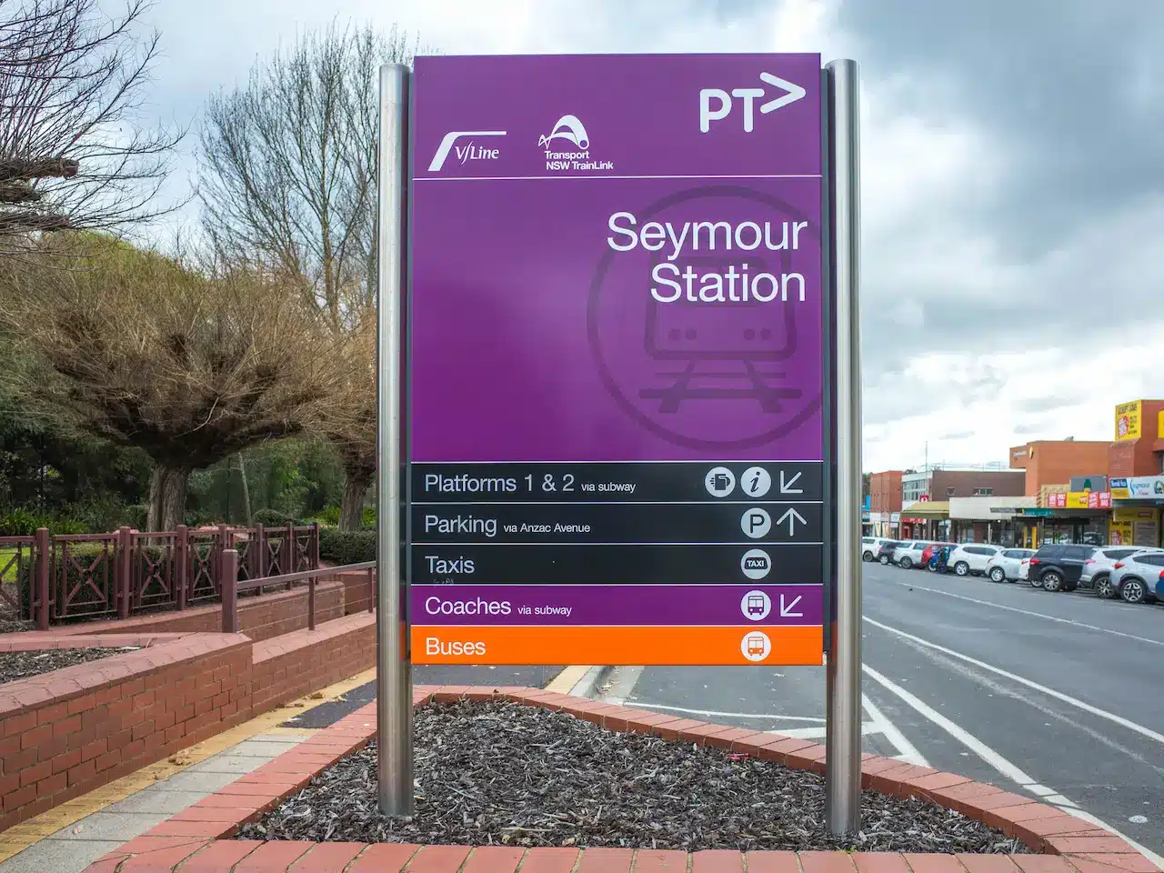
- Seymour Railway Heritage Centre: Explore it!
Seymour Railway Heritage Centre, located off Victoria Street in Melbourne, offers a fascinating look into Australia’s rich rail history. This unique facility is primarily a workshop dedicated for the restoration and preservation of vintage railway equipment. It’s a hub for railway enthusiasts and history lovers alike.
The centre is open 24/7, but it has a fascinating collection of artifacts including locomotives and carriages. If you’re interested in seeing the collection, check ahead or make an appointment with one of the volunteers. They are eager to share their knowledge about the restoration process and the history behind the items.
The Seymour Railway Heritage Centre offers more than just exhibits. It’s a chance to interact with a community that values and preserves Australia’s rail heritage. This centre is a must-see for anyone who loves trains or has an interest in the past.

